Latest Articles
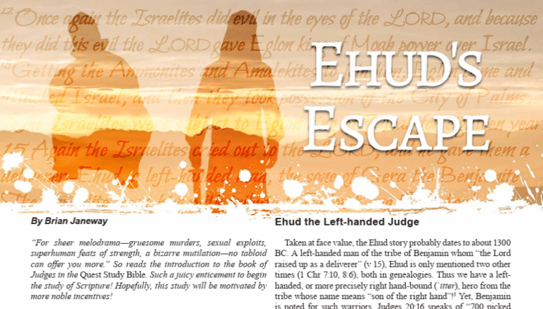
Ehud’s Escape
May 21 2026
Read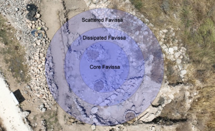
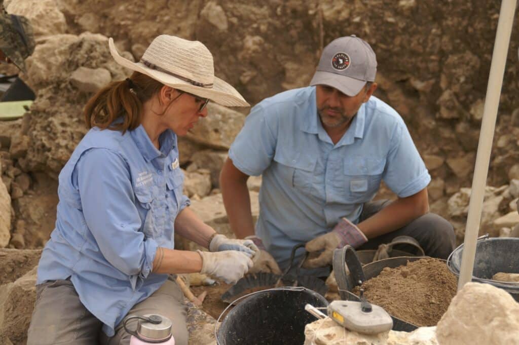
The Shiloh Excavations: Summary of the 2025 Fieldwork
May 13 2026
Read
The Archaeology of Easter
Mar 7 2026
Read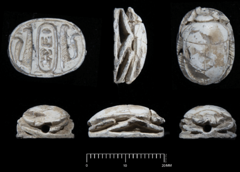
Three Scarabs from Shiloh: Chronology, Typology, and Iconography
Feb 2 2026
Read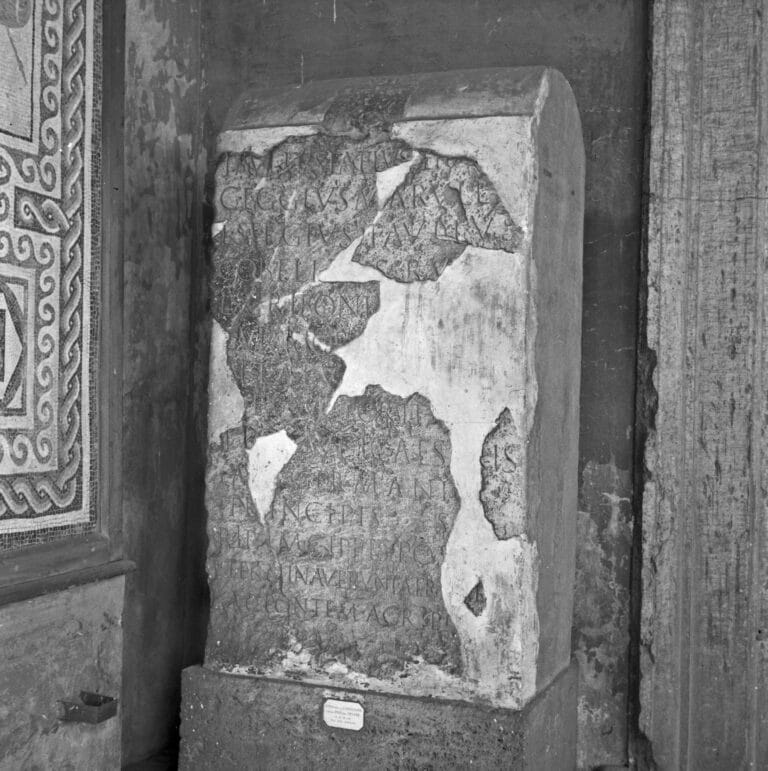
The Roman Tiber River Inscription and the Cypriot Proconsul Sergius Paulus
Feb 1 2026
Read
The First Regnal Year of Tiberius as Indicated on Roman Coins
Jan 13 2026
Read
Ehud’s Escape
May 21 2026
Read
The Shiloh Excavations: Summary of the 2025 Fieldwork
May 13 2026
Read
The Archaeology of Easter
Mar 7 2026
ReadLatest Peer-Reviewed Articles
The Shiloh Excavations: Summary of the 2025 Fieldwork
May 13 2026
Read
The Roman Tiber River Inscription and the Cypriot Proconsul Sergius Paulus
Feb 1 2026
Read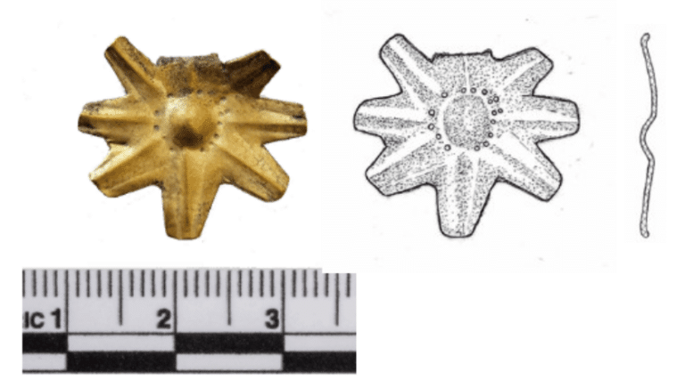
Treasures from Shiloh: Identifying Gold, Mother-of-Pearl, and Faience Jewelry from the 2022 and 2023 Excavation Seasons
Nov 13 2025
Read
1 Kings 6:1 and the Date of the Exodus from the Masoretic and Septuagint Textual Traditions
Oct 25 2025
Read
Roman Crucifixion
Nov 13 2024
Read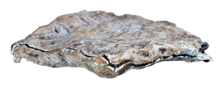
“You are Cursed by the God YHW:” An EarlyHebrew Inscription from Mt. Ebal
May 12 2023
Read
The Shiloh Excavations: Summary of the 2025 Fieldwork
May 13 2026
Read
The Roman Tiber River Inscription and the Cypriot Proconsul Sergius Paulus
Feb 1 2026
Read
Treasures from Shiloh: Identifying Gold, Mother-of-Pearl, and Faience Jewelry from the 2022 and 2023 Excavation Seasons
Nov 13 2025
ReadLatest Videos
Decoding Egyptian Scarabs | Digging for Truth Episode 289
May 17 2026
View
New Research on the Origins of the Philistines | Digging for Truth Episode 288
May 10 2026
View
The Epic of Gilgamesh | Digging for Truth Episode 287
Apr 26 2026
View
The Public Reading of Scripture | Digging for Truth Episode 286
Apr 19 2026
View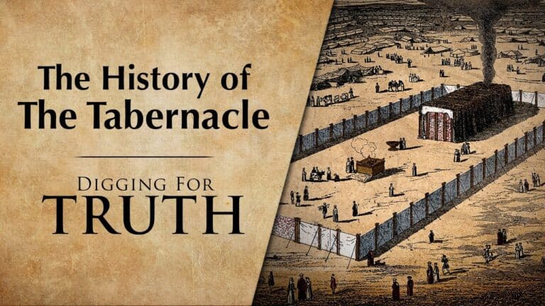
The History of the Tabernacle | Digging For Truth Episode 285
Apr 12 2026
View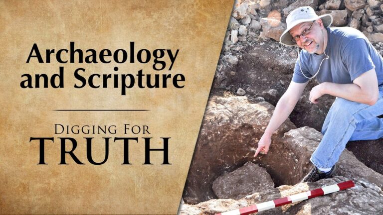
Archaeology and Scripture | Digging for Truth Episodes 283/284
Mar 15 2026
View
Decoding Egyptian Scarabs | Digging for Truth Episode 289
May 17 2026
View
New Research on the Origins of the Philistines | Digging for Truth Episode 288
May 10 2026
View
The Epic of Gilgamesh | Digging for Truth Episode 287
Apr 26 2026
ViewLatest Podcasts
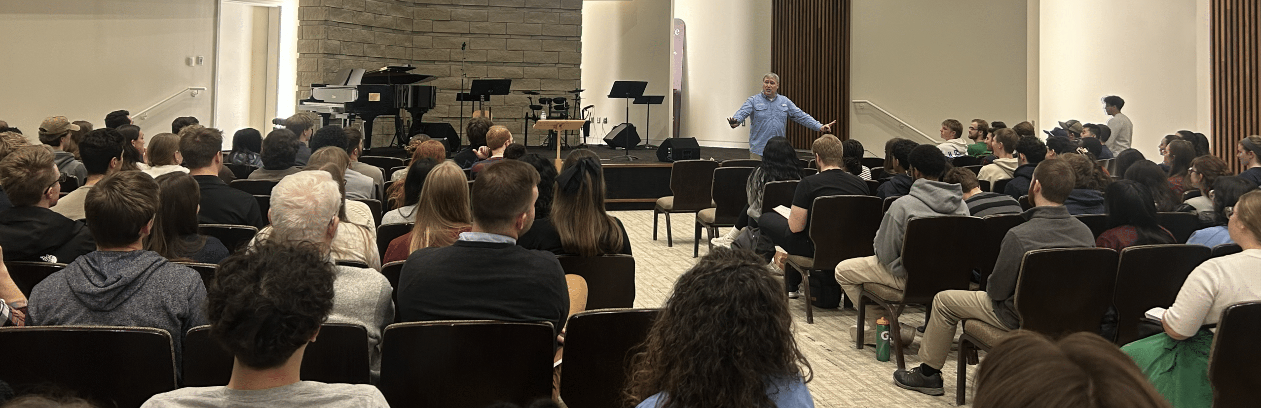
Episode 67 – Digging in a Sacred Bone Deposit (Guest: Jordan McClinton)
Apr 23 2026
Listen
Episode 66 – The Easter Story is History (Guests: Bryan Windle and Tommy Chamberlin)
Mar 21 2026
Listen
Episode 65 – Josephus and Jesus (Guest: Dr. Thomas Schmidt)
Feb 26 2026
Listen
Episode 64 – Studying the Lucy Skeleton, in Person (Guest: Dr. Todd Wood)
Jan 26 2026
Listen
Episode 63 – Compact Time – Radiocarbon Dating & The Case for a Young Earth (Guest: Dr. John Walton)
Nov 25 2025
Listen
Episode 62 – Does Science Make God Irrelevant? (Guest: Dr. Hans Madueme)
Oct 24 2025
Listen
Episode 67 – Digging in a Sacred Bone Deposit (Guest: Jordan McClinton)
Apr 23 2026
Listen
Episode 66 – The Easter Story is History (Guests: Bryan Windle and Tommy Chamberlin)
Mar 21 2026
Listen
Episode 65 – Josephus and Jesus (Guest: Dr. Thomas Schmidt)
Feb 26 2026
Listen